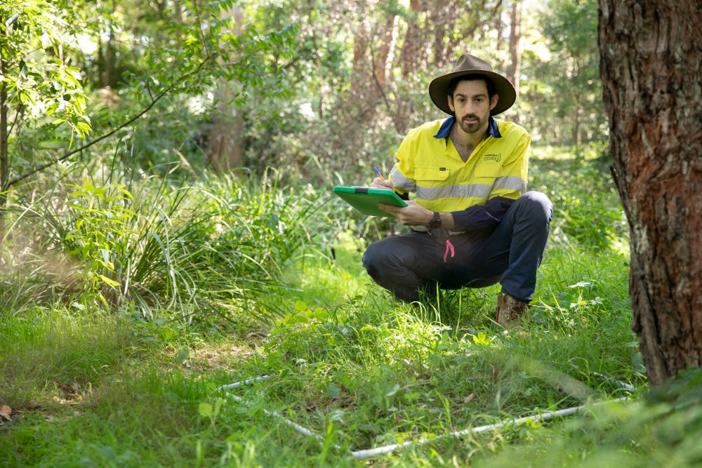
Terrestrial Ecology
Terrestrial ecology is one of Cumberland Ecology’s core areas of expertise.
Our terrestrial ecologists are experienced in species surveys and small and large-scale flora and fauna surveys.
We expertly prepare biodiversity assessments through to strategic development plans.
Cumberland Ecology regularly prepares assessments and carries out services for post-approval urban development, commercial and infrastructure projects.
Our fauna team has an intricate understanding of the habitat requirements of Australian fauna, and the survey techniques required to survey for particular threatened species.
We are well versed in application of the latest survey guidelines and are always up-to-date with species specific research. Several of our staff are trained wildlife carers and regularly conduct pre-clearing surveys and ‘spotter-catcher’ work to protect native fauna during clearing operations.
Our flora team comprise botanists with years of experience in flora survey and the identification and mapping of plant community types right across Australia.
We regularly prepare biodiversity monitoring plans and conduct annual monitoring for numerous projects that monitor the recovery of native vegetation, Threatened Ecological Communities (TECs) and threatened species.
GIS specialists support all elements of our terrestrial ecology work including planning for surveys, presentation of data and the analysis and assessment of impacts.
Our specialist GIS team delivers high quality and accurate mapping and this shows in our reports.
Our expertise includes:
❖ Biodiversity Assessment Method (BAM)
❖ Fauna habitat assessments
❖ GIS mapping and analysis
❖ Methodology and Framework for Biodiversity Assessment surveys (NSW)
❖ Regional Ecosystem Mapping (QLD)
❖ Targeted fauna survey (including use of Elliott, pitfall, funnel, hair tube, harp and infra-red camera traps, ultrasonic bat call detection, call playback and spotlighting)
❖ Targeted threatened flora searches
❖ Vegetation mapping and classification
❖ Plant Community Type (PCT) selection

❖ Biodiversity Management Plans
❖ Vegetation Management Plans
❖ Monitoring of weeds, feral animals,
and overabundant native species
❖ Ongoing compliance monitoring including threatened species, rehabilitation projects & nest box usage
❖ Threatened Species Management Plans
❖ Rehabilitation Plans for ecosystem restoration

❖ Biodiversity Development Assessment Reports (BDAR) and Biodiversity Certification Assessment Reports (BCAR) applying the Biodiversity Assessment Method (BAM), and State Significant Development (SSD) and State Significant Infrastructure (SSI) Projects
❖ Ecological constraints analysis
❖ Impact assessments under the NSW Environmental Planning and Assessment Act 1979, including:
➢ Biodiversity Assessments for Environmental Assessments / Impact Statements for State Significant Projects
➢ Flora and Fauna Assessment Reports (Tests of Significance or 5-part tests)
❖ Offset Investigations:
➢ Preparation of documents for Biodiversity Stewardship Agreements (BSA) under the Biodiversity Offset Scheme (BOS)
➢ Management and monitoring of offset sites
➢ Planning advice on offsetting needs for prospective development projects
➢ Selection and surveys of prospective offset sites
➢ Referrals and other reporting to comply with the requirements of the Commonwealth Environment Protection and Biodiversity Conservation Act 1999
❖ Consultation with Federal, State, and local government agencies
❖ Expert testimony for court work
❖ Pre-planning advice on ecological constraints for prospective development projects


